High-resolution satellite images reveal the vast scale of the destruction caused by the wildfires in southern Rethymno, with the first major blaze alone estimated to have burned approximately 4,500 hectares of land.
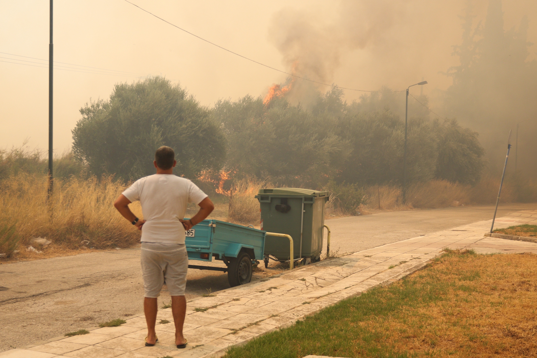
Fire in Vounteni of Achaia, northeast of Patras, Greece on August 13, 2025. / Πυρκαγιά στη Βούντενη Αχαΐας, βορειοανατολικά της Πάτρας, 13 Αυγούστου 2025.
The images, captured by the Copernicus Sentinel-2 satellite, were processed by the scientific team at the National Observatory of Athens and meteo.gr.
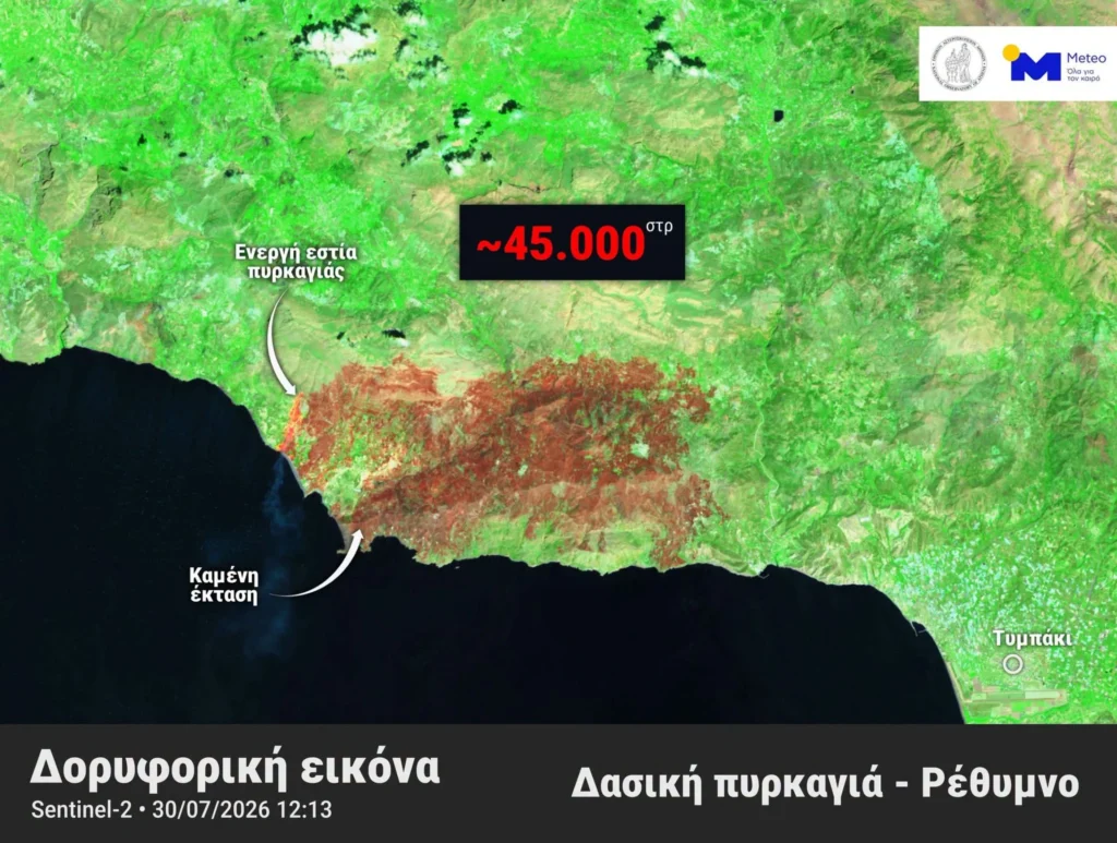
The estimate does not include areas burned by the subsequent fire near Preveli, where the flames reached the area’s palm forest, causing extensive ecological damage.
The satellite image was captured at 12.13pm on Thursday 30 July, while several parts of the fire fronts remained active.
The Rethymno wildfires are among the largest ever recorded in Crete. Authorities are continuing their efforts to contain the flames, while gale-force winds are severely hampering firefighting operations.