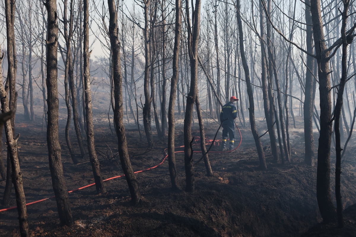
Analysis from the Copernicus CLMS Corine Land Cover classification reveals the varied landscape affected by the blaze: 39% of the burned surface comprises transitional woodland and scrubland, 26% sclerophyllous vegetation, 19.5% sparsely vegetated land with scattered buildings, 12% agricultural land, and 3.5% discontinuous urban construction.
This latest fire is now the second most destructive in the history of Attica, following the catastrophic 2009 fire that consumed 130,540 acres (13,054 hectares) of forest and peri-urban land in a remarkably similar pattern. The overlap of 60% between the two fires underscores the severe ecological toll on the region, raising grave concerns about the prospects for natural regeneration in the years ahead.
The National Observatory of Athens has emphasised the significant burden this repeated devastation places on the local ecosystem. The outlook for the landscape’s recovery is bleak, as continuous cycles of destruction and attempted regrowth weaken the natural resilience of the area.
______________________________________________
Are you seeking news from Greece presented from a progressive, non-mainstream perspective? Subscribe monthly or annually to support TPP International in delivering independent reporting in English. Don’t let Greek progressive voices fade.
Make sure to reference “TPP International” and your order number as the reason for payment.